By Jensen and Company
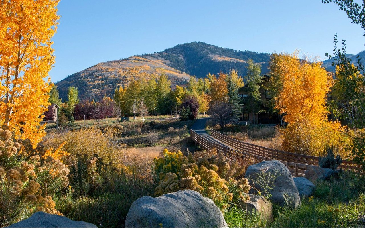
Park City sits inside a network of more than 350 miles of trails and over 7,000 acres of preserved open space, which makes location a real factor when you choose a home. We put together this guide to the best trails in and around Park City's top neighborhoods so you can see how each area connects to the outdoors. From the mining-era terrain near Old Town to the creekside paths of the Snyderville Basin, there is a route for every pace and season. Here is where to start.
Key Takeaways
- Discover standout trail systems from Old Town to the Snyderville Basin.
- See which neighborhoods sit closest to the routes you want.
- Learn how Park City trails stay active through winter.
- Find the maps that make trail planning easier.
Round Valley and Its Open High Desert Terrain
Round Valley gives Park City a wide, open counterpoint to its mountain terrain. Its beginner to intermediate rating makes it an approachable place to start.
What to Know About Round Valley
- Size: The area covers about 694 acres of open space with over 30 miles of trails.
- Winter grooming: About 15 km of trails are groomed for snowshoeing and cross-country skiing.
- Neighbor: The area sits next to Quinn's Recreational Facility and Ice Arena, which has sports fields, a playground, a dog park, and an ice arena.
- Maps: Mountain Trails Foundation's Round Valley and Snyderville Basin map covers Skyridge, Clark Ranch, Lost Prospector, and Trailside.
Masonic Hill and April Mountain Near the Heart of Town
Masonic Hill and April Mountain sit in the heart of Park City, which keeps intermediate trail terrain close to the center of town. Aspen groves and high desert landscape blend within the same area.
Named Routes to Know
- Acreage: The area covers over 450 acres of open space with about 15 miles of trails.
- Featured rides: Lost Prospector, Rambler, Snow Top, and Mid Mountain Trail are named rides in this area.
- Old Town and Treasure Hill: Mountain Trails Foundation's Old Town and Overview map shows these areas up close.
- Trail stewardship: The foundation builds, maintains, and protects nonmotorized trails and publishes the maps.
Empire Canyon and the Resort-Side Trails
Empire Canyon was once the center of Park City's mining history. Today it is where Park City Mountain and Deer Valley Resort meet.
Rides Named for Empire Canyon
- Difficulty: The canyon's trails are rated intermediate to advanced.
- Spiro and Sweeney's to Daly Canyon: Both are named rides in the canyon.
- TG 1&2 and Gravedigger: These are two more of the canyon's named rides.
- Local maps: Local bike shops can provide the Mountain Trails map and details for these rides.
The Snyderville Basin: McLeod Creek and Swaner
The Basin offers gentler, more connected paths that link neighborhoods to parks and preserve land. Silver Springs, Kimball Junction, and Willow Creek all sit within reach of these routes.
Basin Trails Worth Exploring
- McLeod Creek Trail: It runs between Park City and Kimball Junction with paved and soft-surface sections and a beginner rating.
- Swaner Preserve: The northern section has over 10 miles of trails that connect to Park City's trail system.
- Willow Creek Park: The park offers about 2.5 miles of soft and hard surface trails, plus restrooms and water.
- Matt Knoop Memorial Park: This stop along McLeod Creek has restrooms, water, and Ike's Pump Track.
Winter Trail Use Across Park City
Many Park City trails shift to winter use, and groomed routes keep the network active through the colder months. That makes the trail network a year-round part of living here.
Winter Options Around Town
- Round Valley: About 15 km of groomed trails serve snowshoeing and cross-country skiing.
- Willow Creek and East 224: Almost 10 km of groomed winter trail links Park City and Kimball Junction.
- Willow Creek Park Complex: About 6 km of classic ski lanes cover some of the easiest terrain in the Park City area.
- Swaner Preserve paths: Basin Recreation grooms the southern perimeter paths for Nordic skiing.
Matching Trails to Your Neighborhood Search
Trail access works best as one factor in a larger neighborhood comparison. Mapping routes against the areas you are considering makes the trade-offs clear. Mountain Trails Foundation's two-map set is a helpful companion as you narrow your list.
Where Each Map Points You
- Old Town: The Old Town and Treasure Hill map covers the routes closest to the historic district.
- Snyderville Basin: Neighborhoods like Silver Springs connect to McLeod Creek Trail and the Swaner Preserve trails.
- Outlying areas: Discovery Ridge, Glenwild, Summit Park, and Utah Olympic Park appear on the reverse side of the Round Valley and Snyderville Basin map.
- Wider network: The Old Town and Overview map covers the broader network from Bloods Lake to Summit Park.
FAQs
Which Park City trails are best for beginners?
McLeod Creek Trail is rated beginner, and Round Valley is rated beginner to intermediate. We can show you which neighborhoods sit closest to each.
Do Park City trails stay open in winter?
Many convert to groomed routes for snowshoeing and cross-country skiing, including parts of Round Valley and the Willow Creek system. Check Mountain Trails Foundation and Basin Recreation for current conditions before you go.
Where can I find a Park City trail map?
Mountain Trails Foundation publishes a two-map set covering Old Town and the broader network, plus Round Valley and the Snyderville Basin. The maps are available online and through local bike shops.
Contact Jensen and Company Today
If trail access is high on your list, Jensen and Company is ready to help you find a home near the routes you love. We'll match neighborhoods like Old Town, Silver Springs, and the areas around Round Valley to the outdoor lifestyle you want.
Reach out to us, Jensen and Company, to start your search. We'd love to help you find your place in Park City and make the most of every season on the trail.
Reach out to us, Jensen and Company, to start your search. We'd love to help you find your place in Park City and make the most of every season on the trail.